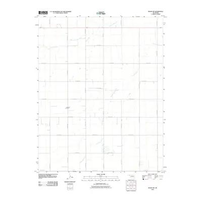
2010 Map of Balko SW
USGS Topo · Published 2010About this map
North Fork Clear Creek and South Fork Clear Creek meander across this high plains landscape in the Oklahoma Panhandle, carving subtle drainage patterns through a grid of rural section roads. This 2010 survey illustrates the organized agricultural layout of Beaver County, defined by a strict network of local roads including Balko Rd and the aptly named Trunk Line Rd. For those researching local family history, the Blue Mound Cemetery stands as a primary landmark in this sparsely populated area, positioned west of Balko Rd. The map also captures the route of Highway 412 as it traverses the northern portion of the quadrangle, serving as the principal corridor through this expanse of western Oklahoma prairie.
Find a feature on this map
22 named features on this map. Tap any name to fly to it.
Don’t see what you’re looking for? This feature index may not catch every label — zoom into the map to look around manually.
Map Details
Editions of this 2010 Balko SW Map
This is the sole edition of this map. No revisions or reprints were ever made.
Other maps of this area

1954 · Perryton
USGS Topo · 1:250,000

1958 · Perryton
USGS Topo · 1:250,000

1973 · Booker
USGS Topo · 1:24,000

1973 · Balko
USGS Topo · 1:24,000

1973 · Boyd
USGS Topo · 1:24,000

1973 · Balko NE
USGS Topo · 1:24,000

1973 · Perryton
USGS Topo · 1:24,000

1973 · Elmwood
USGS Topo · 1:24,000

1973 · Bryans Corner
USGS Topo · 1:24,000

1973 · Balko SW
USGS Topo · 1:24,000