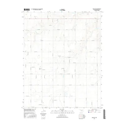
2016 Map of Balko SW
USGS Topo · Published 2016About this map
N Fork Clear Cr and S Fork Clear Cr define the drainage patterns of this corner of Beaver County, cutting deep incisions into the high plains landscape. This 2016 survey illustrates the persistent grid system of the Oklahoma Panhandle, where long, straight thoroughfares like Balko Rd and Trunk Line Rd intersect at precise intervals across the territory. Amidst the vast agricultural sections, Blue Mound Cem stands as a significant point of interest for genealogists and local historians, representing one of the few named community landmarks in this sparsely populated region. The topography is further characterized by an intricate network of named drainage features, including Hollow E0315 and Hollow E0300, which provide a detailed understanding of the watershed and land contours between the forks of Clear Creek.
Find a feature on this map
34 named features on this map. Tap any name to fly to it.
Don’t see what you’re looking for? This feature index may not catch every label — zoom into the map to look around manually.
Map Details
Editions of this 2016 Balko SW Map
This is the sole edition of this map. No revisions or reprints were ever made.
Other maps of this area

1954 · Perryton
USGS Topo · 1:250,000

1958 · Perryton
USGS Topo · 1:250,000

1973 · Booker
USGS Topo · 1:24,000

1973 · Balko
USGS Topo · 1:24,000

1973 · Boyd
USGS Topo · 1:24,000

1973 · Balko NE
USGS Topo · 1:24,000

1973 · Perryton
USGS Topo · 1:24,000

1973 · Elmwood
USGS Topo · 1:24,000

1973 · Bryans Corner
USGS Topo · 1:24,000

1973 · Balko SW
USGS Topo · 1:24,000