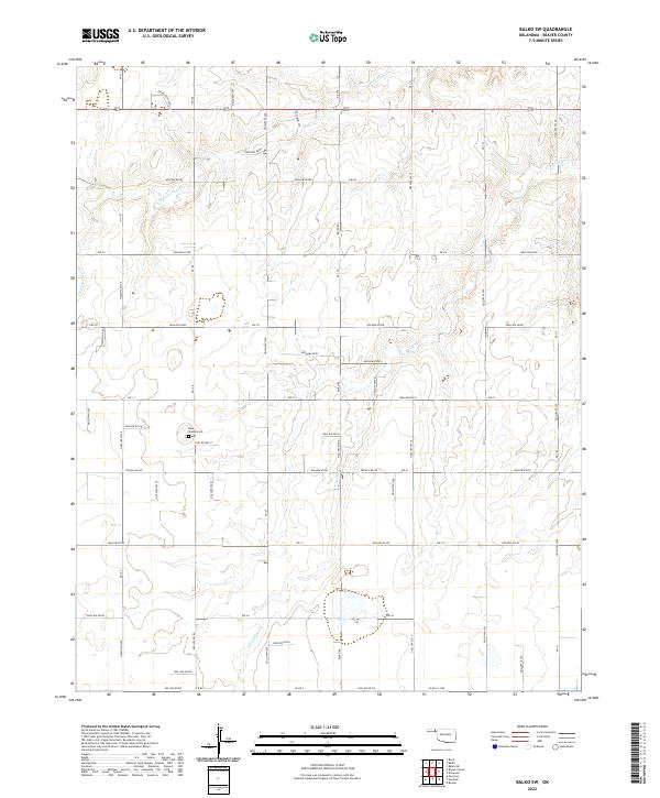
2022 Map of Balko SW
USGS Topo · Published 2022About this map
N Fork Clear Cr and S Fork Clear Cr define the drainage of this Oklahoma panhandle landscape, cutting through the high plains of Beaver County. The map reveals a highly structured grid of section lines and rural roads, such as Ew Balko School St, which speaks to the legacy of the Public Land Survey System in organizing this agricultural region. For those researching local burial sites or family history, the Blue Mound Cem is a primary landmark situated near the center of the sheet. The terrain is marked by numerous named draws and drainage channels, including Hollow E0300 and Hollow N1310, showing how the hydrology of the High Plains has shaped both the natural topography and the placement of the transportation network.
Find a feature on this map
64 named features on this map. Tap any name to fly to it.
Don’t see what you’re looking for? This feature index may not catch every label — zoom into the map to look around manually.
Map Details
Editions of this 2022 Balko SW Map
This is the sole edition of this map. No revisions or reprints were ever made.
Other maps of this area

1954 · Perryton
USGS Topo · 1:250,000

1958 · Perryton
USGS Topo · 1:250,000

1973 · Booker
USGS Topo · 1:24,000

1973 · Balko
USGS Topo · 1:24,000

1973 · Boyd
USGS Topo · 1:24,000

1973 · Balko NE
USGS Topo · 1:24,000

1973 · Perryton
USGS Topo · 1:24,000

1973 · Elmwood
USGS Topo · 1:24,000

1973 · Bryans Corner
USGS Topo · 1:24,000

1973 · Balko SW
USGS Topo · 1:24,000