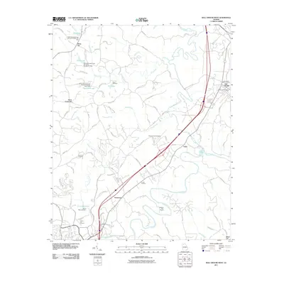
2011 Map of Ball Ground West
USGS Topo · Published 2011About this map
The Etowah River meanders through the southern portion of this Georgia landscape, providing a natural anchor for the surrounding communities in Cherokee County. Settlement patterns here are defined by long-standing crossroads and family landmarks, including Keithsburg, Burris Crossroads, and the town of Ball Ground. The map reveals a high concentration of burial grounds such as McFarland Cemetery, Dowda Cemetery, and Hickory Log Cemetery, which offer valuable locations for genealogical research. Water management is a prominent feature of the terrain, visible through the series of reservoirs and flood control structures along Sharp Mountain Creek, including the Sharp Mountain Creek Structure Number Six Dam. To the south, Canton Mills Lake and its associated dam reflect the local industrial and utility history of the region near Keithsburg.
Find a feature on this map
88 named features on this map. Tap any name to fly to it.
Don’t see what you’re looking for? This feature index may not catch every label — zoom into the map to look around manually.
Map Details
Editions of this 2011 Ball Ground West Map
This is the sole edition of this map. No revisions or reprints were ever made.
Other maps of this area

1890 · Suwanee
USGS Topo · 1:125,000

1890 · Cartersville
USGS Topo · 1:125,000

1891 · Cartersville
USGS Topo · 1:125,000

1894 · Suwanee
USGS Topo · 1:125,000

1896 · Cartersville
USGS Topo · 1:125,000

1907 · Acworth
USGS Topo · 1:62,500

1909 · Acworth
USGS Topo · 1:62,500

1926 · Tate
USGS Topo · 1:62,500

1928 · Tate
USGS Topo · 1:62,500

1947 · Waleska
USGS Topo · 1:62,500