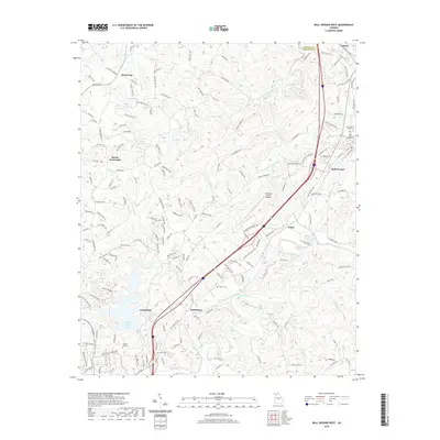
2020 Map of Ball Ground West
USGS Topo · Published 2020About this map
Canton anchors the southwest corner of this landscape, where the Etowah River flows through a region defined by established communities and institutional landmarks. Higher education and local aviation are prominent features, represented by Reinhardt College and the Cherokee County Airport. The settlement pattern follows a clear corridor between Nelson and Ball Ground, while smaller crossroads like Gober and Keithsburg illustrate the area's rural development.
Find a feature on this map
158 named features on this map. Tap any name to fly to it.
Don’t see what you’re looking for? This feature index may not catch every label — zoom into the map to look around manually.
Map Details
Editions of this 2020 Ball Ground West Map
This is the sole edition of this map. No revisions or reprints were ever made.
Other maps of this area

1890 · Suwanee
USGS Topo · 1:125,000

1890 · Cartersville
USGS Topo · 1:125,000

1891 · Cartersville
USGS Topo · 1:125,000

1894 · Suwanee
USGS Topo · 1:125,000

1896 · Cartersville
USGS Topo · 1:125,000

1907 · Acworth
USGS Topo · 1:62,500

1909 · Acworth
USGS Topo · 1:62,500

1926 · Tate
USGS Topo · 1:62,500

1928 · Tate
USGS Topo · 1:62,500

1947 · Waleska
USGS Topo · 1:62,500