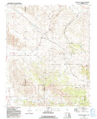
1991 Map of Ballinger Canyon
USGS Topo · Published 1991About this map
The San Andreas Rift Zone cuts diagonally across this high-desert landscape, creating a distinct geological corridor between the Caliente Range and the foothills of the Los Padres National Forest. This 1991 survey captures a sparsely populated region where three counties converge—Kern, San Luis Obispo, and Santa Barbara—defined more by its geography and protected lands than by urban development. The Bitter Creek National Wildlife Refuge dominates the eastern half of the sheet, providing a sanctuary in the drainage of Bitter Creek.
Find a feature on this map
31 named features on this map. Tap any name to fly to it.
Don’t see what you’re looking for? This feature index may not catch every label — zoom into the map to look around manually.
Map Details
Editions of this 1991 Ballinger Canyon Map
This is the sole edition of this map. No revisions or reprints were ever made.
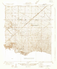
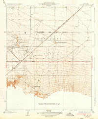
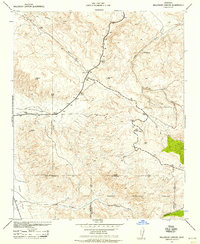
Other maps of this area

1902 · Santa Ynez
USGS Topo · 1:125,000

1903 · Mt. Pinos
USGS Topo · 1:125,000

1905 · Santa Ynez
USGS Topo · 1:125,000

1910 · Buena Vista Lake
USGS Topo · 1:125,000

1912 · McKittrick
USGS Topo · 1:125,000

1912 · Buena Vista Lake
USGS Topo · 1:125,000
1931 · Pentland Junction
USGS Topo · 1:31,680
1934 · Pentland
USGS Topo · 1:31,680
1942 · Ballinger Canyon
USGS Topo · 1:24,000

1942 · East of Cuyama Ranch
USGS Topo · 1:24,000