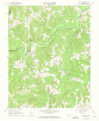
1968 Map of Ballsville
USGS Topo · Published 1971About this map
Appomattox River winds through this rural landscape on the border of Powhatan and Amelia counties, serving as a primary geographical anchor for the surrounding communities. In the late 1960s, the area remained predominantly agricultural, with small crossroads such as Ballsville, Tobaccoville, and Paineville connected by a network of secondary roads and improved surfaces. The map reveals the local social fabric through its numerous country churches, including Hobsons Chapel and Little Union Ch, which often served as the central gathering points for these disparate rural settlements.
Find a feature on this map
22 named features on this map. Tap any name to fly to it.
Don’t see what you’re looking for? This feature index may not catch every label — zoom into the map to look around manually.
Map Details
Editions of this 1968 Ballsville Map
2 editions found
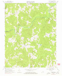
Other maps of this area

1890 · Goochland
USGS Topo · 1:125,000

1891 · Palmyra
USGS Topo · 1:125,000

1891 · Farmville
USGS Topo · 1:125,000

1892 · Goochland
USGS Topo · 1:125,000

1893 · Farmville
USGS Topo · 1:125,000

1895 · Palmyra
USGS Topo · 1:125,000

1897 · Amelia
USGS Topo · 1:125,000

1897 · Palmyra
USGS Topo · 1:125,000

1943 · Powhatan
USGS Topo · 1:31,680

1943 · Amelia
USGS Topo · 1:31,680