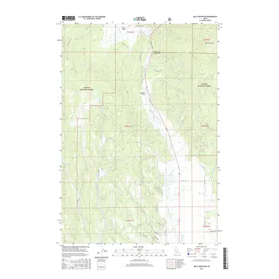
2017 Map of Bally Mountain
USGS Topo · Published 2017About this map
Meadows Valley and Round Valley serve as the primary topographic focal points where the Little Salmon River and Round Valley Cr have shaped the high-altitude landscape. This 2017 study illustrates a network of drainage systems and agricultural infrastructure, most notably the Campbell Ditch, which supports the small settlements of Hot Springs and Martin. Much of the eastern and central portion of the map is defined by the Payette National Forest, showing the intersection of managed timberlands and private valley holdings.
Find a feature on this map
44 named features on this map. Tap any name to fly to it.
Don’t see what you’re looking for? This feature index may not catch every label — zoom into the map to look around manually.
Map Details
Editions of this 2017 Bally Mountain Map
This is the sole edition of this map. No revisions or reprints were ever made.
Other maps of this area

1911 · Meadows
USGS Topo · 1:125,000

1938 · Riggins
USGS Topo · 1:96,000

1945 · Riggins
USGS Topo · 1:125,000

1954 · New Meadows
USGS Topo · 1:62,500

1955 · Baker
USGS Topo · 1:250,000

1955 · Grangeville
USGS Topo · 1:250,000

1959 · Baker
USGS Topo · 1:250,000

1959 · Grangeville
USGS Topo · 1:250,000

1963 · Bally Mountain
USGS Topo · 1:24,000

1963 · Indian Mountain
USGS Topo · 1:24,000