
1963 Map of Indian Mountain
USGS Topo · Published 1965About this map
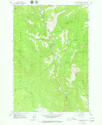
The Little Salmon River cuts a deep canyon through this portion of Adams Co, serving as the primary corridor for movement through the steep terrain of the Payette National Forest. This 1963 field-checked survey reveals a landscape where human presence is largely defined by the river and a network of primitive access points, including numerous Jeep Trails that navigate the high ridges. To the east, the Grass Mountains rise sharply, while Indian Mountain dominates the central topography. Small clearings like Round Valley and Bear Wallow punctuate the timbered slopes, while traveler amenities are limited to simple clearings like Roadside Park along the river. This map is particularly useful for identifying the natural landmarks and early motorized routes used by foresters and hunters in the mid-20th century, such as the path to Tepee Springs or the overlooks at Hazard Falls.
Find a feature on this map
24 named features on this map. Tap any name to fly to it.
Don’t see what you’re looking for? This feature index may not catch every label — zoom into the map to look around manually.
Map Details
Editions of this 1963 Indian Mountain Map
2 editions found
Other maps of this area

1938 · Riggins
USGS Topo · 1:96,000

1945 · Riggins
USGS Topo · 1:125,000

1955 · Grangeville
USGS Topo · 1:250,000

1959 · Grangeville
USGS Topo · 1:250,000

1963 · Bally Mountain
USGS Topo · 1:24,000
1963 · Railroad Saddle
USGS Topo · 1:24,000
1963 · Hazard Lake
USGS Topo · 1:24,000
1963 · Pollock Mountain
USGS Topo · 1:24,000
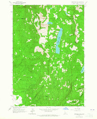
1963 · Brundage Mtn
USGS Topo · 1:24,000
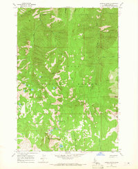
1964 · Patrick Butte
USGS Topo · 1:24,000