
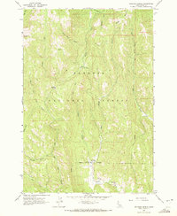
1963 Map of Railroad Saddle
USGS Topo · Published 1965About this map
The Payette National Forest dominates this mid-century survey, revealing a landscape defined by deep drainages and timber management. In the southern portion of the map, the Price Valley Guard Station sits near the confluence where Lost Creek meets the Weiser River in Price Valley. This area serves as a focal point for water management and forest service operations, noted by the presence of a Gaging Station and the Yantis Ditch cutting across the central slopes.
Find a feature on this map
27 named features on this map. Tap any name to fly to it.
Don’t see what you’re looking for? This feature index may not catch every label — zoom into the map to look around manually.
Map Details
Editions of this 1963 Railroad Saddle Map
2 editions found
Other maps of this area

1911 · Meadows
USGS Topo · 1:125,000

1920 · Seven Devils Mining District
USGS Topo · 1:48,000

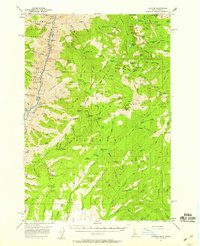
1938 · Riggins
USGS Topo · 1:96,000

1945 · Riggins
USGS Topo · 1:125,000
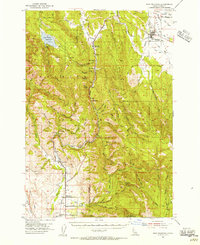
1954 · New Meadows
USGS Topo · 1:62,500

1955 · Baker
USGS Topo · 1:250,000

1955 · Grangeville
USGS Topo · 1:250,000
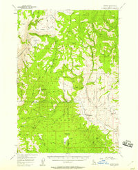
1957 · Cuprum
USGS Topo · 1:62,500
1957 · Hornet
USGS Topo · 1:62,500

1959 · Baker
USGS Topo · 1:250,000