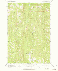
1963 Map of Railroad Saddle
USGS Topo · Published 1972About this map
Price Valley Guard Station stands as a focal point of human activity within this mountainous reach of the Payette National Forest. Established during a period of active forest management and conservation in the early 1960s, the station sits near a Gaging Station where the Weiser River flows through the southern portion of the quadrangle. The terrain is defined by a complex drainage system, including the Rapid River and several branches of Boulder Creek.
Find a feature on this map
26 named features on this map. Tap any name to fly to it.
Don’t see what you’re looking for? This feature index may not catch every label — zoom into the map to look around manually.
Map Details
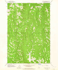
Editions of this 1963 Railroad Saddle Map
2 editions found
Other maps of this area

1911 · Meadows
USGS Topo · 1:125,000

1920 · Seven Devils Mining District
USGS Topo · 1:48,000

1938 · Riggins
USGS Topo · 1:96,000

1945 · Riggins
USGS Topo · 1:125,000

1954 · New Meadows
USGS Topo · 1:62,500

1955 · Baker
USGS Topo · 1:250,000

1955 · Grangeville
USGS Topo · 1:250,000

1957 · Cuprum
USGS Topo · 1:62,500

1957 · Hornet
USGS Topo · 1:62,500

1959 · Baker
USGS Topo · 1:250,000