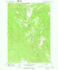
1963 Map of Indian Mountain
USGS Topo · Published 1979About this map
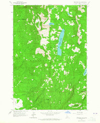
The Little Salmon River carves a deep central corridor through this section of the Payette National Forest, defining the geography of the Indian Mountain area. This 1963 field-checked survey highlights a landscape dominated by drainage networks like Hazard Creek and Fall Creek, punctuated by localized human markings such as Camp Az Mark and the Roadside Park along the river's edge.
Find a feature on this map
29 named features on this map. Tap any name to fly to it.
Don’t see what you’re looking for? This feature index may not catch every label — zoom into the map to look around manually.
Map Details
Editions of this 1963 Indian Mountain Map
2 editions found
Other maps of this area

1938 · Riggins
USGS Topo · 1:96,000

1945 · Riggins
USGS Topo · 1:125,000

1955 · Grangeville
USGS Topo · 1:250,000

1959 · Grangeville
USGS Topo · 1:250,000

1963 · Bally Mountain
USGS Topo · 1:24,000

1963 · Indian Mountain
USGS Topo · 1:24,000
1963 · Railroad Saddle
USGS Topo · 1:24,000
1963 · Hazard Lake
USGS Topo · 1:24,000
1963 · Pollock Mountain
USGS Topo · 1:24,000
1963 · Brundage Mtn
USGS Topo · 1:24,000