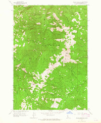
1963 Map of Pollock Mountain
USGS Topo · Published 1965About this map
The Payette National Forest dominates this mid-century landscape, where high ridgelines and deep drainage basins define the wilderness of the Idaho-Adams Co. border. Activity in this era is centered around isolated camps and resource extraction, notably at the Black Leopard Discovery Mine and various prospects scattered across the slopes. Waterways like the Rapid River and Lonesome Creek carve through the terrain, supporting seasonal outposts such as Paradise Cabin and Campbells Cow Camp.
Find a feature on this map
90 named features on this map. Tap any name to fly to it.
Don’t see what you’re looking for? This feature index may not catch every label — zoom into the map to look around manually.
Map Details
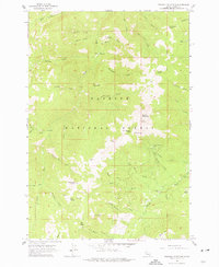
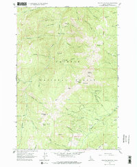
Editions of this 1963 Pollock Mountain Map
3 editions found
Other maps of this area

1920 · Seven Devils Mining District
USGS Topo · 1:48,000

1922 · He Devil
USGS Topo · 1:48,000

1938 · Riggins
USGS Topo · 1:96,000

1945 · Riggins
USGS Topo · 1:125,000

1955 · Grangeville
USGS Topo · 1:250,000

1957 · He Devil
USGS Topo · 1:62,500

1957 · Cuprum
USGS Topo · 1:62,500

1959 · Grangeville
USGS Topo · 1:250,000

1963 · Bally Mountain
USGS Topo · 1:24,000

1963 · Indian Mountain
USGS Topo · 1:24,000