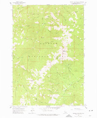
1963 Map of Pollock Mountain
USGS Topo · Published 1977About this map
Pollock Mountain dominates this mid-century survey of the Payette National Forest, a landscape defined by the drainage networks of the Rapid River and Lake Fork. The area serves as a rugged intersection of seasonal livestock operations and mining history, evidenced by Campbells Cow Camp and the Black Leopard Discovery Mine. A lone Grave is noted near the center of the sheet, providing a quiet connection to the human history of this backcountry terrain.
Find a feature on this map
53 named features on this map. Tap any name to fly to it.
Don’t see what you’re looking for? This feature index may not catch every label — zoom into the map to look around manually.
Map Details
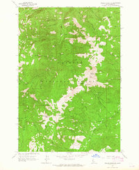
Editions of this 1963 Pollock Mountain Map
3 editions found
Other maps of this area

1920 · Seven Devils Mining District
USGS Topo · 1:48,000

1922 · He Devil
USGS Topo · 1:48,000

1938 · Riggins
USGS Topo · 1:96,000

1945 · Riggins
USGS Topo · 1:125,000

1955 · Grangeville
USGS Topo · 1:250,000

1957 · He Devil
USGS Topo · 1:62,500

1957 · Cuprum
USGS Topo · 1:62,500

1959 · Grangeville
USGS Topo · 1:250,000

1963 · Bally Mountain
USGS Topo · 1:24,000

1963 · Indian Mountain
USGS Topo · 1:24,000