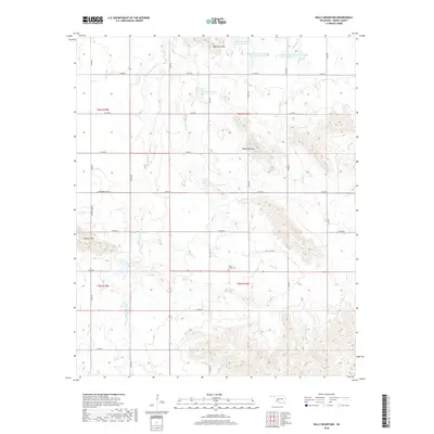
2018 Map of Bally Mountain
USGS Topo · Published 2018About this map
Bally Mountain and Longhorn Mtn dominate this part of Oklahoma, where high ridges rise sharply above the creek beds and reservoirs. This 2018 survey documents a landscape structured by a precise grid of rural roads and water management sites, including the Saddle Mountain Site 5 Reservoir and South Clinton Laterals Site L15 Reservoir. The terrain is drained by systems such as Stinking Creek and Pecan Creek, which meander between the prominent peaks. Local history is anchored at the Green Valley Cemetery, situated centrally within the quadrangle. The map captures the intersection of the T5N and T6N townships, reflecting the enduring legacy of the Public Land Survey System in defining property and passage across the plains.
Find a feature on this map
32 named features on this map. Tap any name to fly to it.
Don’t see what you’re looking for? This feature index may not catch every label — zoom into the map to look around manually.
Map Details
Editions of this 2018 Bally Mountain Map
This is the sole edition of this map. No revisions or reprints were ever made.
Other maps of this area

1949 · Cooperton
USGS Topo · 1:62,500

1950 · Saddle Mountain
USGS Topo · 1:62,500

1955 · Lawton
USGS Topo · 1:250,000

1955 · Clinton
USGS Topo · 1:250,000

1956 · Saddle Mountain
USGS Topo · 1:24,000

1956 · Cooperton
USGS Topo · 1:24,000

1956 · Alden
USGS Topo · 1:24,000

1956 · Bally Mountain
USGS Topo · 1:24,000

1956 · Unap Mountain
USGS Topo · 1:24,000

1956 · Meers
USGS Topo · 1:24,000