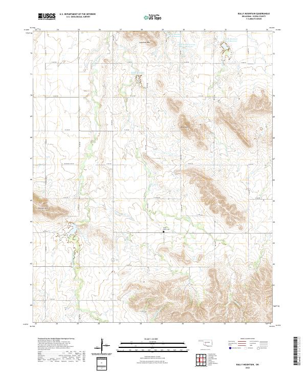
2022 Map of Bally Mountain
USGS Topo · Published 2022About this map
Bally Mtn and Longhorn Mtn dominate this Kiowa County landscape, rising above a grid of rural section roads and creek drainages. The topography is defined by significant water management infrastructure, including the Saddle Mountain Site 11 Reservoir, Saddle Mountain Site 10 Reservoir, and the South Clinton Laterals Site 11 Reservoir. These catchments, along with named waterways like Pecan Cr and Stinking Cr, illustrate the complex drainage and irrigation systems of this Oklahoma plains region. Cultural markers are few but significant for local history, notably the Green Valley Cem located centrally near e1445 RD. The survey provides a clear view of the land's transition from the prominent elevation of Zodletone Mtn to the surrounding lowlands defined by Saddle Mountain Creek.
Find a feature on this map
35 named features on this map. Tap any name to fly to it.
Don’t see what you’re looking for? This feature index may not catch every label — zoom into the map to look around manually.
Map Details
Editions of this 2022 Bally Mountain Map
This is the sole edition of this map. No revisions or reprints were ever made.
Other maps of this area

1949 · Cooperton
USGS Topo · 1:62,500

1950 · Saddle Mountain
USGS Topo · 1:62,500

1955 · Lawton
USGS Topo · 1:250,000

1955 · Clinton
USGS Topo · 1:250,000

1956 · Saddle Mountain
USGS Topo · 1:24,000

1956 · Cooperton
USGS Topo · 1:24,000

1956 · Alden
USGS Topo · 1:24,000

1956 · Bally Mountain
USGS Topo · 1:24,000

1956 · Unap Mountain
USGS Topo · 1:24,000

1956 · Meers
USGS Topo · 1:24,000