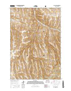
2017 Map of Balm Canyon
USGS Topo · Published 2017About this map
Rhea Creek Cem sits in the northern reaches of this landscape, a quiet marker of early settlement located near the junction of Balm Canyon and Graveyard Canyon. The terrain is characterized by a series of deep drainage networks and high ridges, where the waters of Rhea Cr and Houselog Cr carve through the high country south of Heppner. Portions of the Umatilla National Forest cover the southern half of the map, encompassing landmarks like Warm Hill and the seasonal flows of Three Rock Cr. Historically used for grazing and timber, the area is crisscrossed by established routes such as Upper Rhea Creek Rd and Road Canyon Rd, which follow the natural contours of the canyons to connect remote ranching sites and vital water sources like Willow Spring and Salina Spring.
Find a feature on this map
40 named features on this map. Tap any name to fly to it.
Don’t see what you’re looking for? This feature index may not catch every label — zoom into the map to look around manually.
Map Details
Editions of this 2017 Balm Canyon Map
This is the sole edition of this map. No revisions or reprints were ever made.
Other maps of this area

1953 · Pendleton
USGS Topo · 1:250,000

1956 · Pendleton
USGS Topo · 1:250,000

1968 · Ruggs
USGS Topo · 1:24,000

1968 · Heppner
USGS Topo · 1:24,000

1968 · Skinners Fork
USGS Topo · 1:24,000

1969 · Summerfield Ridge
USGS Topo · 1:24,000

1969 · Chapin Creek
USGS Topo · 1:24,000

1969 · Madison Butte
USGS Topo · 1:24,000

1969 · Hardman
USGS Topo · 1:24,000

1969 · Big Rock Flat
USGS Topo · 1:24,000