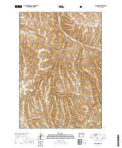
2020 Map of Balm Canyon
USGS Topo · Published 2020About this map
Rhea Creek Cem sits at the head of Graveyard Canyon in this part of Morrow County, where the high-elevation terrain is carved by a complex network of seasonal drainage and named gulches. The landscape is defined by its water sources, including Willow Spring, Salina Spring, and Lowen Spring, which provide critical reference points among the ridges. Named features like Six Dollar Canyon and Horse Gulch reflect the localized nomenclature of early land use and livestock movement across the high plateau. To the south, Warm Hill and Pine Hollow rise above the headwaters of McKinney Cr and Rock Cr, while the remote Waterfall Canyon suggests the sharp verticality found within the Houselog Cr drainage system. The road network, including Upper Rhea Creek Rd and Toll Rock Rd, follows the natural contours of the canyons, linking these isolated landmarks.
Find a feature on this map
38 named features on this map. Tap any name to fly to it.
Don’t see what you’re looking for? This feature index may not catch every label — zoom into the map to look around manually.
Map Details
Editions of this 2020 Balm Canyon Map
This is the sole edition of this map. No revisions or reprints were ever made.
Other maps of this area

1953 · Pendleton
USGS Topo · 1:250,000

1956 · Pendleton
USGS Topo · 1:250,000

1968 · Ruggs
USGS Topo · 1:24,000

1968 · Heppner
USGS Topo · 1:24,000

1968 · Skinners Fork
USGS Topo · 1:24,000

1969 · Summerfield Ridge
USGS Topo · 1:24,000

1969 · Chapin Creek
USGS Topo · 1:24,000

1969 · Madison Butte
USGS Topo · 1:24,000

1969 · Hardman
USGS Topo · 1:24,000

1969 · Big Rock Flat
USGS Topo · 1:24,000