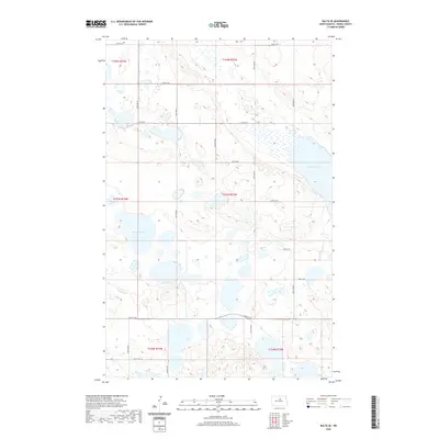
2020 Map of Balta SE
USGS Topo · Published 2020About this map
Girard Lake and Battema Lake dominate the hydrography of this Pierce County landscape, highlighting a region defined by prairie potholes and glacial depressions. This survey records the section lines of the Public Land Survey System, including t154n r74w and t153n r73w, which organize the rural terrain into a precise grid. The transportation network is strictly aligned with these boundaries, featuring local connectors such as 49th St NE and 24th Ave NE that provide access to the various farmsteads and agricultural plots. The map illustrates how human settlement in this part of North Dakota remains deeply tied to the township and range system, with infrastructure following the geometry of the land divisions rather than the irregular contours of the wetlands.
Find a feature on this map
24 named features on this map. Tap any name to fly to it.
Don’t see what you’re looking for? This feature index may not catch every label — zoom into the map to look around manually.
Map Details
Editions of this 2020 Balta SE Map
This is the sole edition of this map. No revisions or reprints were ever made.
Other maps of this area

1940 · Aylmer
USGS Topo · 1:62,500

1941 · Selz
USGS Topo · 1:62,500

1951 · Selz NW
USGS Topo · 1:24,000

1952 · New Rockford
USGS Topo · 1:250,000

1953 · Devils Lake
USGS Topo · 1:250,000

1954 · Minot
USGS Topo · 1:250,000

1954 · McClusky
USGS Topo · 1:250,000

1956 · New Rockford
USGS Topo · 1:250,000

1956 · Devils Lake
USGS Topo · 1:250,000

1958 · McClusky
USGS Topo · 1:250,000