
1957 Map of Baltimore
USGS Topo · Published 1964About this map
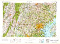
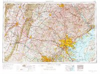
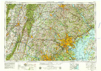
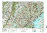
Baltimore and the northern Chesapeake Bay serve as the hub for this mid-century regional survey, which captures the industrial and military landscape of the Mid-Atlantic. The map illustrates a dense network of transit and defense, from the Aberdeen Proving Ground and Edgewood Arsenal along the shore to Fort George G Meade Military Reservation further inland. Major rail corridors like the Pennsylvania RR and Baltimore & Ohio RR connect the city to outlying centers such as Hagerstown, York, and Chambersburg.
Find a feature on this map
83 named features on this map. Tap any name to fly to it.
Don’t see what you’re looking for? This feature index may not catch every label — zoom into the map to look around manually.
Map Details
Editions of this 1957 Baltimore Map
5 editions found
Other maps of this area

1884 · Harpers Ferry
USGS Topo · 1:125,000

1890 · Mt. Vernon
USGS Topo · 1:125,000

1891 · Harpers Ferry
USGS Topo · 1:125,000

1891 · Mt. Vernon
USGS Topo · 1:125,000

1892 · Laurel
USGS Topo · 1:62,500

1892 · Ellicott
USGS Topo · 1:62,500

1892 · Owensville
USGS Topo · 1:62,500

1892 · Annapolis
USGS Topo · 1:62,500

1893 · North Point
USGS Topo · 1:62,500

1893 · Gunpowder
USGS Topo · 1:62,500