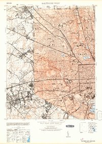
1953 Map of Baltimore West
USGS Topo · Published 1953About this map
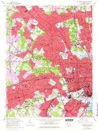
Pikesville and Catonsville anchor the western edge of this mid-century survey, a landscape defined by institutional development and the expansion of the Baltimore and Ohio and Western Maryland rail lines. The area is dense with legacy institutions, ranging from the St Vincents Infants Home and Spring Grove State Hospital to the historic Pimlico Race Track. The transition from the urban grid of west Baltimore to the suburban pockets of Villa Nova and Sudbrook Park is visible, punctuated by numerous religious and educational centers like St Marys Seminary and the Gilman Country School.
Find a feature on this map
96 named features on this map. Tap any name to fly to it.
Don’t see what you’re looking for? This feature index may not catch every label — zoom into the map to look around manually.
Map Details
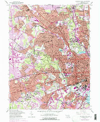
Editions of this 1953 Baltimore West Map
6 editions found
Other maps of this area

1892 · Laurel
USGS Topo · 1:62,500

1892 · Ellicott
USGS Topo · 1:62,500

1894 · Ellicott
USGS Topo · 1:62,500

1894 · Laurel
USGS Topo · 1:62,500

1894 · Baltimore
USGS Topo · 1:62,500

1894 · Relay
USGS Topo · 1:62,500

1897 · Laurel
USGS Topo · 1:62,500

1899 · Baltimore
USGS Topo · 1:62,500

1904 · Baltimore
USGS Topo · 1:62,500

1906 · Ellicott
USGS Topo · 1:62,500