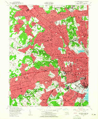
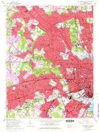
1953 Map of Baltimore West
USGS Topo · Published 1956About this map
The urban expansion of West Baltimore and its suburbs in the mid-1950s is documented here, showing the dense network of neighborhoods such as Hampden, Forest Park, and Pikesville. This era is defined by the coexistence of grand institutional campuses and emerging residential subdivisions. The map highlights numerous religious and educational centers, including the St Marys Seminary and Ner Israel Rabbinical College, alongside vast green spaces like Druid Hill Park and Leakin Park. The presence of Pimlico Racetrack and various golf courses such as the Suburban Club Golf Course reflect the area's established recreational culture. Meanwhile, the industrial and transport backbone of the city is evident along the Pennsylvania Railroad and Baltimore and Ohio Railroad corridors, which serve the heavy development stretching from the city center toward Catonsville Manor and Woodlawn.
Find a feature on this map
145 named features on this map. Tap any name to fly to it.
Don’t see what you’re looking for? This feature index may not catch every label — zoom into the map to look around manually.
Map Details
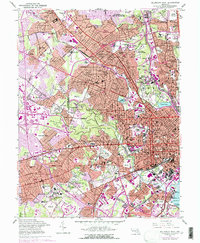
Editions of this 1953 Baltimore West Map
6 editions found
Other maps of this area

1892 · Laurel
USGS Topo · 1:62,500

1892 · Ellicott
USGS Topo · 1:62,500

1894 · Ellicott
USGS Topo · 1:62,500

1894 · Laurel
USGS Topo · 1:62,500

1894 · Baltimore
USGS Topo · 1:62,500

1894 · Relay
USGS Topo · 1:62,500

1897 · Laurel
USGS Topo · 1:62,500

1899 · Baltimore
USGS Topo · 1:62,500

1904 · Baltimore
USGS Topo · 1:62,500

1906 · Ellicott
USGS Topo · 1:62,500