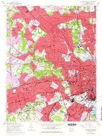
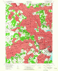
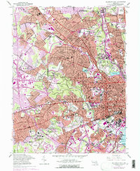
1953 Map of Baltimore West
USGS Topo · Published 1968About this map
Pimlico Racetrack and the sprawling grounds of Druid Hill Park anchor this detailed study of the city's western reach during the post-war expansion of the mid-1950s. The landscape is a dense assembly of institutional and religious history, featuring the massive Cathedral Cemetery and the Spring Grove State Hospital complex. This era captures the intricate residential patterns of neighborhoods like Roland Park, Pikesville, and Catonsville Manor as they integrated with the city's expanding educational and medical infrastructure.
Find a feature on this map
150 named features on this map. Tap any name to fly to it.
Don’t see what you’re looking for? This feature index may not catch every label — zoom into the map to look around manually.
Map Details
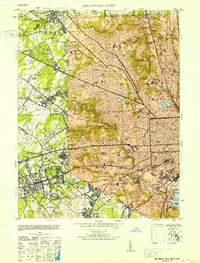
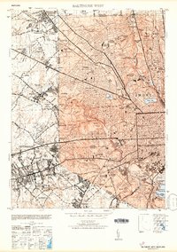
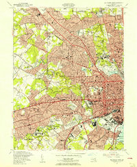
Editions of this 1953 Baltimore West Map
6 editions found
Other maps of this area

1892 · Laurel
USGS Topo · 1:62,500

1892 · Ellicott
USGS Topo · 1:62,500

1894 · Ellicott
USGS Topo · 1:62,500

1894 · Laurel
USGS Topo · 1:62,500

1894 · Baltimore
USGS Topo · 1:62,500

1894 · Relay
USGS Topo · 1:62,500

1897 · Laurel
USGS Topo · 1:62,500

1899 · Baltimore
USGS Topo · 1:62,500

1904 · Baltimore
USGS Topo · 1:62,500

1906 · Ellicott
USGS Topo · 1:62,500