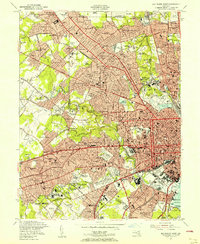
1953 Map of Baltimore West
USGS Topo · Published 1956About this map
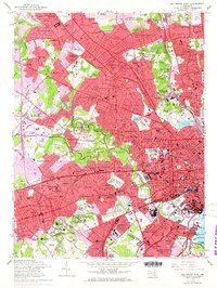
The Maryland Line streetcar route and the Pennsylvania Railroad corridor define the suburban development of western Baltimore in the early 1950s. This survey illustrates the dense residential expansion of neighborhoods like Roland Park, Mount Washington, and Lochearn during a period of rapid post-war growth. The landscape is a mix of academic institutions and social infrastructure, featuring the Mt St Agnes College campus, the Seton Institute, and the General German Orphan Home. Significant green spaces and public facilities are well-documented, including the expansive Druid Hill Park, Pimlico Racetrack, and the Carlins Amusement Park. For genealogists, the map is a vital record of mid-century community life, pinpointing numerous religious and memorial sites such as the Beth Jacob Synagogue, Baltimore National Cemetery, and St Marys Orphanage before the construction of modern interstate bypasses altered the local geography.
Find a feature on this map
176 named features on this map. Tap any name to fly to it.
Don’t see what you’re looking for? This feature index may not catch every label — zoom into the map to look around manually.
Map Details
Editions of this 1953 Baltimore West Map
6 editions found
Other maps of this area

1892 · Laurel
USGS Topo · 1:62,500

1892 · Ellicott
USGS Topo · 1:62,500

1894 · Ellicott
USGS Topo · 1:62,500

1894 · Laurel
USGS Topo · 1:62,500

1894 · Baltimore
USGS Topo · 1:62,500

1894 · Relay
USGS Topo · 1:62,500

1897 · Laurel
USGS Topo · 1:62,500

1899 · Baltimore
USGS Topo · 1:62,500

1904 · Baltimore
USGS Topo · 1:62,500

1906 · Ellicott
USGS Topo · 1:62,500