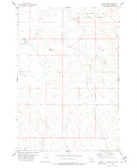
1978 Map of Bams Butte
USGS Topo · Published 1978About this map
The State and Experiment Farm Antelope Preserve dominates the northern reaches of this Harding County landscape, marking a dedicated territory for wildlife management and agricultural study in the late 1970s. The terrain is defined by the drainage systems of Squaw Creek, including its East and West forks, which carve through the high plains toward Bams Butte.
Find a feature on this map
11 named features on this map. Tap any name to fly to it.
Don’t see what you’re looking for? This feature index may not catch every label — zoom into the map to look around manually.
Map Details
Editions of this 1978 Bams Butte Map
This is the sole edition of this map. No revisions or reprints were ever made.
Other maps of this area

1935 · Reva
USGS Topo · 1:125,000

1935 · Hoover
USGS Topo · 1:125,000

1954 · Lemmon
USGS Topo · 1:250,000

1957 · Lemmon
USGS Topo · 1:250,000

1968 · Irish Butte
USGS Topo · 1:24,000

1968 · J B Hill
USGS Topo · 1:24,000

1969 · Battleship Rock
USGS Topo · 1:24,000
1971 · Sheep Pen Draw SW
USGS Topo · 1:24,000
1971 · Sheep Pen Draw SE
USGS Topo · 1:24,000
1978 · Bams Butte NW
USGS Topo · 1:24,000