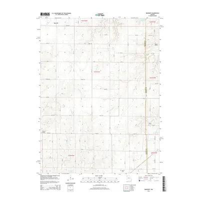
2015 Map of Bancroft
USGS Topo · Published 2015About this map
Bancroft sits at the northern edge of this landscape where the Daviess County and Grundy County border begins its southward run. The terrain is defined by a dense network of drainage, including Tombstone Cr and Cattail Cr, which carve through the land towards larger bodies like Billy Herrin Lake and Wayne Moore Lake. The rural character of the area is anchored by several long-standing landmarks, including Antioch Cemetery and the Pilot Grove Number 2 Cemetery, providing valuable reference points for local genealogy.
Find a feature on this map
39 named features on this map. Tap any name to fly to it.
Don’t see what you’re looking for? This feature index may not catch every label — zoom into the map to look around manually.
Map Details
Editions of this 2015 Bancroft Map
This is the sole edition of this map. No revisions or reprints were ever made.
Other maps of this area

1921 · Chillicothe
USGS Topo · 1:62,500

1922 · Gallatin
USGS Topo · 1:62,500

1923 · Chillicothe
USGS Topo · 1:62,500

1925 · Gilman
USGS Topo · 1:62,500

1946 · Gilman
USGS Topo · 1:48,000

1948 · Gilman
USGS Topo · 1:62,500

1948 · Trenton
USGS Topo · 1:62,500

1953 · Moberly
USGS Topo · 1:250,000

1954 · Centerville
USGS Topo · 1:250,000

1954 · Moberly
USGS Topo · 1:250,000