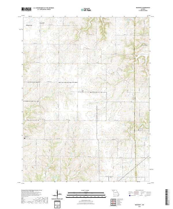
2021 Map of Bancroft
USGS Topo · Published 2021About this map
Bancroft and the outskirts of Gilman City occupy the northern reaches of this Daviess County landscape, where the terrain is defined by a dense network of tributaries flowing toward larger basins. The area's character is deeply rural, with significant community resources like the Jamesport Community Lake and Spillman Field providing focal points for local recreation. Genealogists will find interest in the documented locations of the Antioch Cem and Pilot Grove Number 2 Cem, both situated along the sectional road grid that organizes the countryside.
Find a feature on this map
31 named features on this map. Tap any name to fly to it.
Don’t see what you’re looking for? This feature index may not catch every label — zoom into the map to look around manually.
Map Details
Editions of this 2021 Bancroft Map
This is the sole edition of this map. No revisions or reprints were ever made.
Other maps of this area

1921 · Chillicothe
USGS Topo · 1:62,500

1922 · Gallatin
USGS Topo · 1:62,500

1923 · Chillicothe
USGS Topo · 1:62,500

1925 · Gilman
USGS Topo · 1:62,500

1946 · Gilman
USGS Topo · 1:48,000

1948 · Gilman
USGS Topo · 1:62,500

1948 · Trenton
USGS Topo · 1:62,500

1953 · Moberly
USGS Topo · 1:250,000

1954 · Centerville
USGS Topo · 1:250,000

1954 · Moberly
USGS Topo · 1:250,000