
1973 Map of Bancroft
USGS Topo · Published 1975About this map
The boundary between Early and Calhoun County defines this rural landscape, where the Central Of Georgia Railroad railroad cuts through the small settlement of Bancroft. In the early 1970s, this area remained largely agricultural, supported by a network of drainage systems including Spring Creek and Dry Creek. The landscape is dotted with several Quarries that speak to the local extractive industry of the era, contrasting with the longstanding spiritual and social centers of the community. Among these are Christ Missionary Ch and Rosinwick Ch, the latter situated near Rosinwick Cem. The presence of Lime Branch and Perry Creek further illustrates the well-watered character of this Southwest Georgia terrain, providing a look at a rail-oriented rural economy before modern interstate development altered regional transit patterns.
Find a feature on this map
13 named features on this map. Tap any name to fly to it.
Don’t see what you’re looking for? This feature index may not catch every label — zoom into the map to look around manually.
Map Details
Editions of this 1973 Bancroft Map
This is the sole edition of this map. No revisions or reprints were ever made.
Other maps of this area

1953 · Dothan
USGS Topo · 1:250,000

1954 · Dothan
USGS Topo · 1:250,000

1955 · Dothan
USGS Topo · 1:250,000

1973 · Blakely North
USGS Topo · 1:24,000

1973 · Blakely South
USGS Topo · 1:24,000

1973 · Edison
USGS Topo · 1:24,000
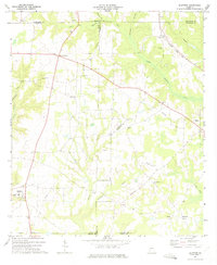
1973 · Bluffton
USGS Topo · 1:24,000
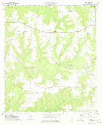
1973 · Zetto
USGS Topo · 1:24,000

1973 · Hentown
USGS Topo · 1:24,000

1974 · Damascus
USGS Topo · 1:24,000