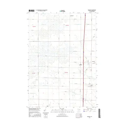
2015 Map of Bancroft
USGS Topo · Published 2015About this map
Bancroft and West Bancroft serve as the primary hubs in this central Wisconsin landscape, which is heavily defined by an extensive network of drainage infrastructure. This hydraulic engineering is visible through numerous named channels such as Ditch Number Eight, Ditch Number Ten, and Ditch Number Three, which crisscross the terrain to manage the local water table. These artificial waterways feed into natural systems like the N Br Tenmile Cr and S Br Tenmile Cr to the south.
Find a feature on this map
61 named features on this map. Tap any name to fly to it.
Don’t see what you’re looking for? This feature index may not catch every label — zoom into the map to look around manually.
Map Details
Editions of this 2015 Bancroft Map
This is the sole edition of this map. No revisions or reprints were ever made.
Other maps of this area

1955 · Green Bay
USGS Topo · 1:250,000

1957 · Amherst
USGS Topo · 1:48,000

1957 · Whiting
USGS Topo · 1:48,000

1958 · Coloma
USGS Topo · 1:48,000

1959 · Wautoma
USGS Topo · 1:48,000

1968 · Coloma NW
USGS Topo · 1:24,000

1968 · Plainfield
USGS Topo · 1:24,000

1968 · Hancock
USGS Topo · 1:24,000

1969 · Arnott
USGS Topo · 1:24,000
1969 · Almond
USGS Topo · 1:24,000