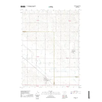
2017 Map of Bancroft
USGS Topo · Published 2017About this map
Bancroft and Rosalie anchor this northeast Nebraska landscape at the intersection of Cuming, Thurston, and Burt counties. The region's agricultural character is defined by an extensive water management network, most notably the Logan Creek Dredge which runs straight through the lowlands. This massive engineering effort stands in contrast to the winding remnants of the Old Channel Logan Cr, showing the mid-century transition from natural floodplains to reclaimed farmland. The map reveals the rigid grid of county roads like Road S and 24th Rd that parcel out the terrain. Smaller waterways such as Big Slough Cr and Somalia Cr drain the higher ground toward the engineered channels. Within the town sites, street-level detail includes Washington St and Main St, providing a look at the layout of these rural communities during the late 2010s.
Find a feature on this map
50 named features on this map. Tap any name to fly to it.
Don’t see what you’re looking for? This feature index may not catch every label — zoom into the map to look around manually.
Map Details
Editions of this 2017 Bancroft Map
This is the sole edition of this map. No revisions or reprints were ever made.
Other maps of this area

1955 · Sioux City
USGS Topo · 1:250,000

1955 · Fremont
USGS Topo · 1:250,000

1957 · Fremont
USGS Topo · 1:250,000

1958 · Sioux City
USGS Topo · 1:250,000

1958 · Fremont
USGS Topo · 1:250,000

1959 · Sioux City
USGS Topo · 1:250,000

1966 · West Point NW
USGS Topo · 1:24,000

1966 · Lyons
USGS Topo · 1:24,000

1966 · West Point NE
USGS Topo · 1:24,000

1966 · Walthill SW
USGS Topo · 1:24,000