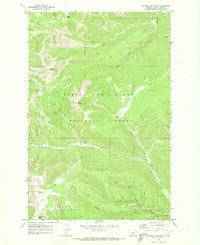
1970 Map of Bandbox Mountain
USGS Topo · Published 1973About this map
Old Yogo Town (Site) sits along the banks of Yogo Creek in this 1970 survey of the Lewis and Clark National Forest. The landscape is a complex network of steep drainage basins and high summits, including Bandbox Mountain and Woodchopper Ridge. This area in Judith Basin Co reflects a legacy of resource extraction, with numerous Mines and Prospects scattered across the gulches, particularly near Color Gulch and Sixteen Skunk Gulch.
Find a feature on this map
35 named features on this map. Tap any name to fly to it.
Don’t see what you’re looking for? This feature index may not catch every label — zoom into the map to look around manually.
Map Details
Editions of this 1970 Bandbox Mountain Map
2 editions found
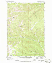
Other maps of this area

1886 · Little Belt Mts.
USGS Topo · 1:250,000

1890 · Fort Benton
USGS Topo · 1:250,000

1892 · Fort Benton
USGS Topo · 1:250,000

1894 · Little Belt Mts.
USGS Topo · 1:250,000

1897 · Fort Benton
USGS Topo · 1:250,000

1897 · Little Belt Mts.
USGS Topo · 1:250,000

1898 · Little Belt Mts.
USGS Topo · 1:250,000

1902 · Little Belt Mts.
USGS Topo · 1:250,000

1948 · White Sulphur Springs
USGS Topo · 1:250,000

1954 · Great Falls
USGS Topo · 1:250,000