Loading...
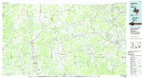
Loading map...1985 Map of Bandera
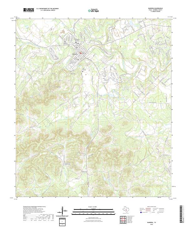
USGS Topo · Published 1985About this map
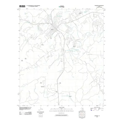
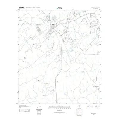
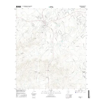
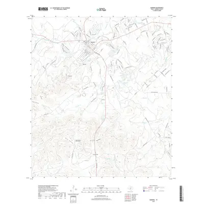
Lost Maples State Park and Garner State Park anchor this mid-1980s landscape, which reveals the complex network of drainage systems defining the Texas Hill Country. The topography is shaped by the headwaters of several significant river systems, including the Frio River, Sabinal River, and Medina River. High ridges and distinctive peaks such as Sugarloaf Mountain and Twin Sisters rise above the valleys, while localized settlements like Utopia, Leakey, and Bandera serve as central hubs for the surrounding ranching and recreation areas.
Find a feature on this map
60 named features on this map. Tap any name to fly to it.
Don’t see what you’re looking for? This feature index may not catch every label — zoom into the map to look around manually.
Map Details
Date Portrayed1985
Date Published1985
PublisherU.S. Geological Survey
Map TypeTopographic
Scale1:100,000
Physical Dimensions43.9 x 24.1 inches
Editions of this 1985 Bandera Map
2 editions found
Historical Maps of Kerrville Through Time
8 maps found
Featured Locations
Source Details
SourceU.S. Geological Survey
CopyrightPublic Domain