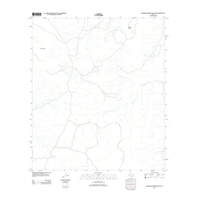
2012 Map of Bandera Mesa South
USGS Topo · Published 2012About this map
Bandera Mesa and Tascotal Mesa dominate this high-desert landscape in Presidio County, where the topography is defined by broad plateaus and the deep drainages that cut through them. The hydrological network is led by Alamo de Cesario Cr and its significant tributary, S Fork Alamo de Cesario Cr, which flow through the eastern and central reaches of the quadrangle. In the west, Terneros Cr and Fresno Cr carve through the arid terrain, illustrating the natural watercourses that have historically shaped land use and ranching boundaries in this part of the Big Bend region. This 2012 survey by the U.S. Geological Survey provides a precise record of these landforms and the sparse road network that traverses the high flats.
Find a feature on this map
6 named features on this map. Tap any name to fly to it.
Don’t see what you’re looking for? This feature index may not catch every label — zoom into the map to look around manually.
Map Details
Editions of this 2012 Bandera Mesa South Map
This is the sole edition of this map. No revisions or reprints were ever made.
Other maps of this area

1903 · Terlingua
USGS Topo · 1:125,000

1904 · Terlingua
USGS Topo · 1:125,000

1917 · Agua Fria
USGS Topo · 1:62,500

1917 · Tascotal Mesa
USGS Topo · 1:62,500

1931 · Lajitas
USGS Topo · 1:62,500

1937 · Agua Fria
USGS Topo · 1:62,500

1944 · Tascotal Mesa
USGS Topo · 1:62,500

1959 · Emory Peak
USGS Topo · 1:250,000

1965 · Emory Peak
USGS Topo · 1:250,000

1971 · Yellow Hill
USGS Topo · 1:24,000