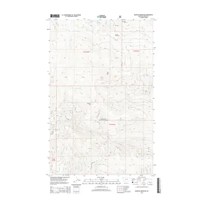
2014 Map of Banfield Mountain
USGS Topo · Published 2014About this map
Kootenai National Forest dominates this section of northwest Montana, where high peaks and deep drainage networks define the wilderness. Centered on Banfield Mtn, the landscape rises toward the Purcell Mountains in the north, including the high points of Lost Soul Mtn and Lawrence Mtn. This terrain is a complex of headwaters, where numerous forks feed into the larger regional basins. Of particular interest is the high-elevation Blue Lake, which feeds into Blue Cr, and the branching paths of S Fork Bristow Cr and N Fork Bristow Cr. The map details the intricate topography used by foresters and backcountry explorers, showing the way water moves through the timbered slopes via systems like Barron Cr and N Fork Jackson Cr. It provides a clear view of the federal land management boundaries that shaped this corner of Lincoln County in the early 21st century.
Find a feature on this map
21 named features on this map. Tap any name to fly to it.
Don’t see what you’re looking for? This feature index may not catch every label — zoom into the map to look around manually.
Map Details
Editions of this 2014 Banfield Mountain Map
This is the sole edition of this map. No revisions or reprints were ever made.
Other maps of this area

1920 · Libby
USGS Topo · 1:125,000

1920 · Jennings
USGS Topo · 1:125,000

1930 · Libby
USGS Topo · 1:125,000

1932 · Libby
USGS Topo · 1:125,000

1935 · Thompson Lakes
USGS Topo · 1:96,000

1942 · Thompson Lakes
USGS Topo · 1:125,000

1957 · Kalispell
USGS Topo · 1:250,000

1960 · Kalispell
USGS Topo · 1:250,000

1961 · Kalispell
USGS Topo · 1:250,000

1963 · Vermiculite Mountain
USGS Topo · 1:24,000