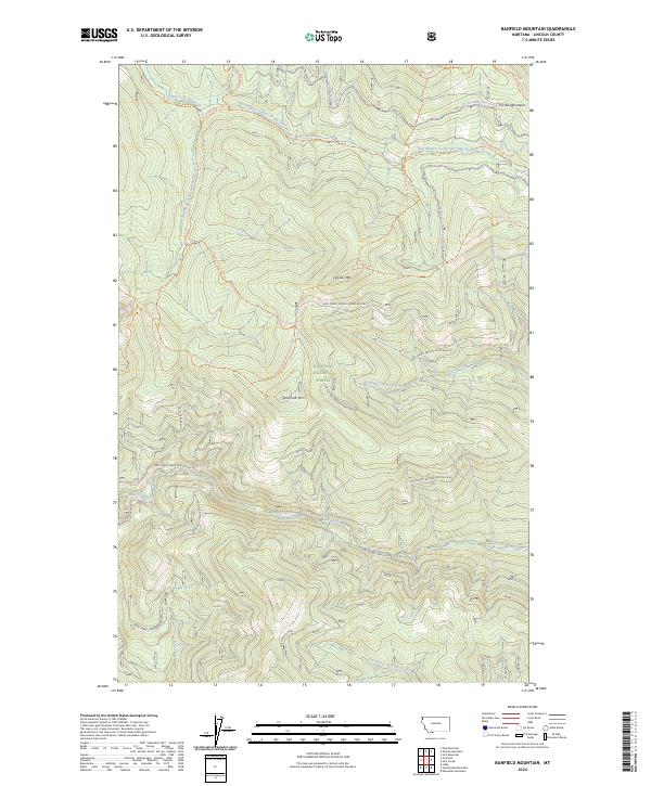
2024 Map of Banfield Mountain
USGS Topo · Published 2024About this map
Kootenai National Forest dominates this mountain landscape in Lincoln County, defined by the high peaks of the Purcell Mountains. The terrain is anchored by Banfield Mtn and Lost Soul Mtn, where a complex network of forest service roads and trails provides access to the high country. These include the Giebier/lost Soul Divide Trl and Banfield Ridge Trl, which follow the primary ridgelines.
Find a feature on this map
37 named features on this map. Tap any name to fly to it.
Don’t see what you’re looking for? This feature index may not catch every label — zoom into the map to look around manually.
Map Details
Editions of this 2024 Banfield Mountain Map
This is the sole edition of this map. No revisions or reprints were ever made.
Other maps of this area

1920 · Libby
USGS Topo · 1:125,000

1920 · Jennings
USGS Topo · 1:125,000

1930 · Libby
USGS Topo · 1:125,000

1932 · Libby
USGS Topo · 1:125,000

1935 · Thompson Lakes
USGS Topo · 1:96,000

1942 · Thompson Lakes
USGS Topo · 1:125,000

1957 · Kalispell
USGS Topo · 1:250,000

1960 · Kalispell
USGS Topo · 1:250,000

1961 · Kalispell
USGS Topo · 1:250,000

1963 · Vermiculite Mountain
USGS Topo · 1:24,000