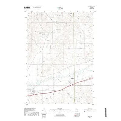
2018 Map of Bangor
USGS Topo · Published 2018About this map
The La Crosse River and Little La Crosse River valley floor serves as the primary corridor for rail and road infrastructure, connecting the village of Bangor with Rockland. This low-lying drainage basin contrasts sharply with the dissected uplands to the north, where numerous coulees such as Norwegian Coulee, Tamarack Coulee, and Culpitt Coulee cut through the ridges. The landscape is defined by this characteristic driftless topography, with prominent high points like Moss Hill and Pettinger Hill overlooking the narrow valleys.
Find a feature on this map
93 named features on this map. Tap any name to fly to it.
Don’t see what you’re looking for? This feature index may not catch every label — zoom into the map to look around manually.
Map Details
Editions of this 2018 Bangor Map
This is the sole edition of this map. No revisions or reprints were ever made.
Other maps of this area

1909 · Sparta
USGS Topo · 1:62,500

1926 · North Bend
USGS Topo · 1:62,500

1927 · La Crosse
USGS Topo · 1:62,500

1928 · Melrose
USGS Topo · 1:48,000

1929 · North Bend
USGS Topo · 1:62,500

1930 · La Crosse
USGS Topo · 1:62,500

1947 · Sparta
USGS Topo · 1:62,500

1949 · Sparta
USGS Topo · 1:62,500

1949 · Melrose
USGS Topo · 1:62,500

1953 · Eau Claire
USGS Topo · 1:250,000