2022 Map of Bangor
USGS Topo · Published 2022About this map
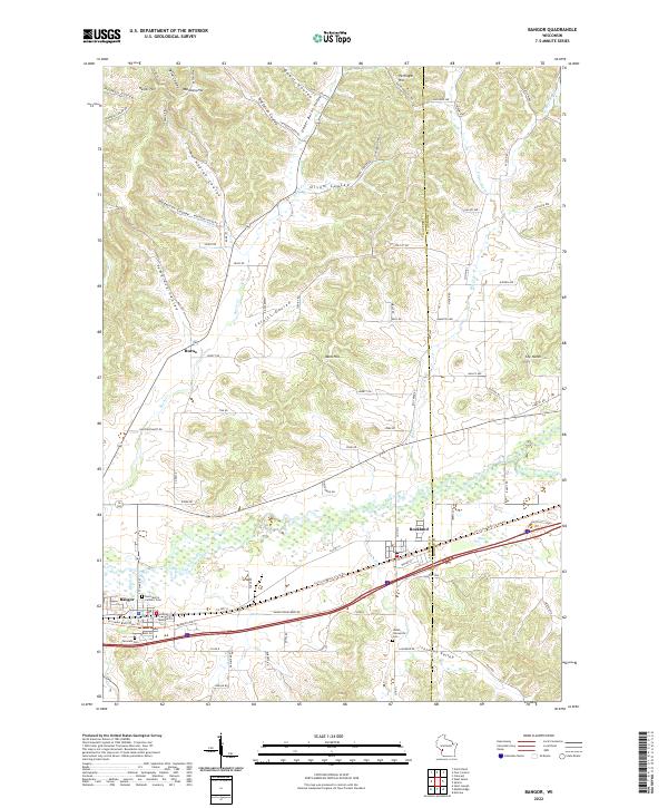
The La Crosse River valley and its surrounding ridge-and-coulee terrain define this portion of western Wisconsin. Along the southern corridor, the Soo Line railroad tracks parallel the river, connecting the settlements of Bangor and Rockland. The landscape is etched by numerous narrow valleys, locally known as coulees, including Norwegian Coulee, Tamarack Coulee, and Anderson Coulee, which descend from prominent heights such as Waldness Hill and Pettinger Hill. This topographic pattern reflects the driftless area's unglaciated geology, where drainage systems have deeply carved the plateau over millennia.
Find a feature on this map
101 named features on this map. Tap any name to fly to it.
Don’t see what you’re looking for? This feature index may not catch every label — zoom into the map to look around manually.
Map Details
Editions of this 2022 Bangor Map
This is the sole edition of this map. No revisions or reprints were ever made.