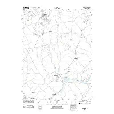
2011 Map of Bangor
USGS Topo · Published 2011About this map
Bangor serves as a primary hub in this corner of Northampton County, where the landscape transitions from established residential blocks to the winding path of Martins Creek. The area is densely marked with heritage sites, including Saint Johns Cemetery, Fairview Cemetery, and Evergreen Cemetery, reflecting generations of local history. Along the southern reaches, the Delaware River carves the landscape near Brainards and Sandts Eddy, defining the border with New Jersey. Smaller enclaves like Ackermanville, Factoryville, and Flicksville are connected by a network of rural roads that bypass topographical features like Old Hound Ridge. Aviation and agriculture also leave their mark on the terrain, evidenced by the Markle Airport and Stoney Ridge Horse Farm. This study of the Delaware River valley captures the modern footprint of these historic river towns and their surrounding highlands.
Find a feature on this map
43 named features on this map. Tap any name to fly to it.
Don’t see what you’re looking for? This feature index may not catch every label — zoom into the map to look around manually.
Map Details
Editions of this 2011 Bangor Map
This is the sole edition of this map. No revisions or reprints were ever made.
Other maps of this area

1890 · Easton
USGS Topo · 1:62,500

1891 · Easton
USGS Topo · 1:62,500

1891 · Delaware Water Gap
USGS Topo · 1:62,500

1893 · Delaware Water Gap
USGS Topo · 1:62,500

1894 · Allentown
USGS Topo · 1:62,500

1914 · Wind Gap
USGS Topo · 1:62,500

1916 · Wind Gap
USGS Topo · 1:62,500

1932 · Easton
USGS Topo · 1:62,500

1936 · Delaware Water Gap
USGS Topo · 1:48,000

1939 · Allentown
USGS Topo · 1:62,500
Featured Places
- Bangor, PA
- Harmony Township, NJ
- Upper Mount Bethel Township, PA
- Ackermanville, Washington Township
- Martins Creek Junction, Washington Township