2023 Map of Bangor
USGS Topo · Published 2023About this map
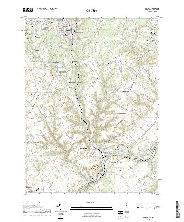
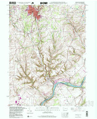
Bangor and its neighboring boroughs of Roseto and Pen Argyl anchor this detailed study of the Pennsylvania-New Jersey border. The landscape is defined by the sharp descent from the northern slate belt ridges toward the Delaware River, where historic crossings like the Martins Creek Ferry, Depuy Ferry, and Harmony Ferry once linked the two states. This era of the region’s development is characterized by a dense network of cemeteries and congregations, including the Scotch-Irish Presbyterian Church and Gethsemane Ministries Church Cem, reflecting the early immigrant heritage of the Slate Belt. Transport history is etched into the terrain through features like the Martins Creek Junction and the small aviation hubs of Gap View Airport and Markle Airport. From the industrial corridors of Martins Creek to the agrarian heights of Mt Airy, the map preserves a complex pattern of settlement along watercourses like Greenwalk Creek and Waltz Creek.
Find a feature on this map
108 named features on this map. Tap any name to fly to it.
Don’t see what you’re looking for? This feature index may not catch every label — zoom into the map to look around manually.
Map Details
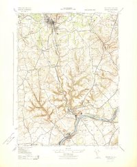
Editions of this 2023 Bangor Map
This is the sole edition of this map. No revisions or reprints were ever made.
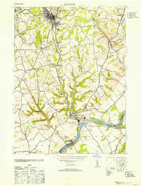
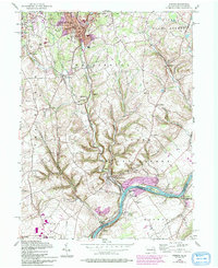
Historical Maps of Ackermanville Through Time
5 maps found
Featured Locations
- Bangor, PA
- Harmony Township, NJ
- Ackermanville, Washington Township
- Martins Creek Junction, Washington Township
- Uhlers Crossing, Forks Township