
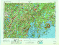
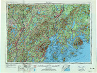
1956 Map of Bangor
USGS Topo · Published 1966About this map
The Penobscot River and Kennebec River define the industrial and maritime character of this mid-century Maine landscape, anchoring a network of historic mill towns and coastal ports. From the state capital at Augusta to the inland hub of Bangor, the map illustrates a region transitioning into the Cold War era, notably marked by the expansion of Dow Air Force Base. Along the complex coastline of Penobscot Bay and Frenchman Bay, established maritime communities like Rockland and Belfast sit adjacent to the granite peaks of Mount Desert Island, where Acadia National Park remains a prominent fixture. The vital transport role of the Maine Central RR is evident as it links the timber-rich interiors near Old Town and Skowhegan to the Atlantic coast, providing a clear view of the mid-1950s infrastructure before the major shifts of the late 20th century.
Find a feature on this map
48 named features on this map. Tap any name to fly to it.
Don’t see what you’re looking for? This feature index may not catch every label — zoom into the map to look around manually.
Map Details
Editions of this 1956 Bangor Map
3 editions found
Other maps of this area

1892 · Gardiner
USGS Topo · 1:62,500

1892 · Freeport
USGS Topo · 1:62,500

1892 · Waterville
USGS Topo · 1:62,500

1892 · Augusta
USGS Topo · 1:62,500

1893 · Vassalboro
USGS Topo · 1:62,500

1893 · Wiscasset
USGS Topo · 1:62,500

1893 · Boothbay
USGS Topo · 1:62,500

1894 · Norridgewock
USGS Topo · 1:62,500

1894 · Bath
USGS Topo · 1:62,500

1898 · Norridgewock
USGS Topo · 1:62,500