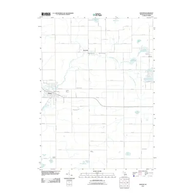
2011 Map of Bangor
USGS Topo · Published 2011About this map
The South Branch Black River winds through the northern landscape of this Van Buren County region, connecting the small settlement of Breedsville with the larger community of Bangor to the southwest. This 2011 survey reveals a landscape defined by its hydrography and rural cemetery distribution, showing how historical burial grounds like Arlington Hill Cemetery and Hoppin Cemetery were situated relative to early settlement patterns and the local drainage network. A complex system of waterways, including the Black River Extension Drain and Lower Jeptha Lake Drain, supports the low-lying terrain surrounding numerous water bodies such as Upper Jeptha Lake and Munson Lake. The map details the transition from the structured street grids of the towns to the sprawling agricultural reaches of the county, where landmarks like the Breedsville Post Office and Jeptha Lake Golf Course serve as focal points for local community activity.
Find a feature on this map
54 named features on this map. Tap any name to fly to it.
Don’t see what you’re looking for? This feature index may not catch every label — zoom into the map to look around manually.
Map Details
Editions of this 2011 Bangor Map
This is the sole edition of this map. No revisions or reprints were ever made.
Other maps of this area

1927 · Hartford
USGS Topo · 1:62,500

1927 · Bangor
USGS Topo · 1:62,500

1931 · Bangor
USGS Topo · 1:62,500

1931 · Hartford
USGS Topo · 1:62,500

1943 · Bangor
USGS Topo · 1:62,500

1944 · Marcellus
USGS Topo · 1:62,500

1946 · Marcellus
USGS Topo · 1:62,500

1946 · Gobles
USGS Topo · 1:62,500

1948 · Gobles
USGS Topo · 1:62,500

1949 · Gobles
USGS Topo · 1:62,500