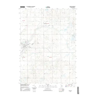
2017 Map of Bangor
USGS Topo · Published 2017About this map
Bangor and Breedsville anchor this 2017 survey of Van Buren County, showing a landscape defined by the winding course of the South Branch Black River and a dense network of glacial lakes. For genealogists, the map provides precise locations for numerous burial grounds across the townships, including Arlington Hill Cem and Hoppin Cem near the Bangor town center, as well as the more outlying Coburn Cem and Hicks Cem. The terrain is marked by intricate drainage patterns such as the Nelson Extension Drain and the Lower Jeptha Lake Drain, which connect bodies of water like Upper Jeptha Lake and Lake Fourteen. The grid of county roads and avenues highlights the agricultural and residential structure of the region, while the industrial presence is noted by Industrial Park Dr on the outskirts of Bangor.
Find a feature on this map
66 named features on this map. Tap any name to fly to it.
Don’t see what you’re looking for? This feature index may not catch every label — zoom into the map to look around manually.
Map Details
Editions of this 2017 Bangor Map
This is the sole edition of this map. No revisions or reprints were ever made.
Other maps of this area

1927 · Hartford
USGS Topo · 1:62,500

1927 · Bangor
USGS Topo · 1:62,500

1931 · Bangor
USGS Topo · 1:62,500

1931 · Hartford
USGS Topo · 1:62,500

1943 · Bangor
USGS Topo · 1:62,500

1944 · Marcellus
USGS Topo · 1:62,500

1946 · Marcellus
USGS Topo · 1:62,500

1946 · Gobles
USGS Topo · 1:62,500

1948 · Gobles
USGS Topo · 1:62,500

1949 · Gobles
USGS Topo · 1:62,500