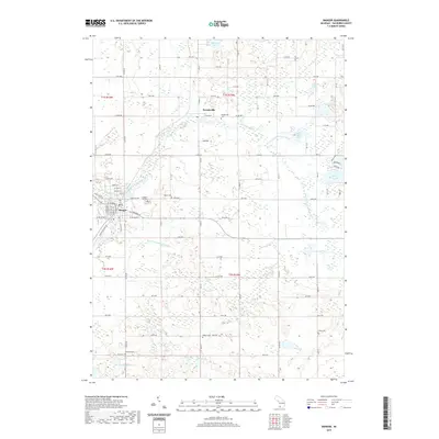
2019 Map of Bangor
USGS Topo · Published 2019About this map
Bangor and Breedsville serve as the primary hubs in this Van Buren County landscape, where the South Branch Black River and S Br Black River wind through a complex network of agricultural lands and natural wetlands. The mapping shows an area deeply tied to its local heritage, evidenced by the numerous burial grounds scattered across the townships, including Arlington Hill Cem, Breedsville Cem, and Hoppin Cem.
Find a feature on this map
59 named features on this map. Tap any name to fly to it.
Don’t see what you’re looking for? This feature index may not catch every label — zoom into the map to look around manually.
Map Details
Editions of this 2019 Bangor Map
This is the sole edition of this map. No revisions or reprints were ever made.
Other maps of this area

1927 · Hartford
USGS Topo · 1:62,500

1927 · Bangor
USGS Topo · 1:62,500

1931 · Bangor
USGS Topo · 1:62,500

1931 · Hartford
USGS Topo · 1:62,500

1943 · Bangor
USGS Topo · 1:62,500

1944 · Marcellus
USGS Topo · 1:62,500

1946 · Marcellus
USGS Topo · 1:62,500

1946 · Gobles
USGS Topo · 1:62,500

1948 · Gobles
USGS Topo · 1:62,500

1949 · Gobles
USGS Topo · 1:62,500