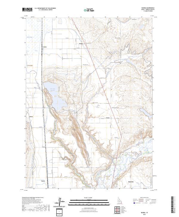
2024 Map of Banida
USGS Topo · Published 2024About this map
Oxford Slough and the surrounding Oxford Slough Waterfowl Production Area anchor the northern landscape of this region, where the high desert meets a complex network of agricultural irrigation. The settlement pattern is defined by small communities and rural junctions, including Banida, Clifton, Winder, and Dayton, which are connected by a grid of farm-to-market roads like 6600 North Rd and Fox Hollow Rd.
Find a feature on this map
51 named features on this map. Tap any name to fly to it.
Don’t see what you’re looking for? This feature index may not catch every label — zoom into the map to look around manually.
Map Details
Editions of this 2024 Banida Map
This is the sole edition of this map. No revisions or reprints were ever made.
Other maps of this area

1915 · Preston
USGS Topo · 1:96,000

1918 · Preston
USGS Topo · 1:125,000

1954 · Pocatello
USGS Topo · 1:250,000

1955 · Preston
USGS Topo · 1:250,000

1958 · Pocatello
USGS Topo · 1:250,000

1958 · Preston
USGS Topo · 1:250,000

1962 · Preston
USGS Topo · 1:250,000

1968 · Oxford
USGS Topo · 1:24,000

1968 · Clifton
USGS Topo · 1:24,000
1968 · Weston Canyon
USGS Topo · 1:24,000