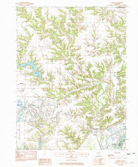
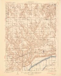
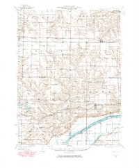
1982 Map of Banner
USGS Topo · Published 1982About this map
Banner and Monterey sit amidst a complex network of drainages and bluffs leading down to the Illinois River in this early 1980s topographical record. The landscape is defined by the carved paths of Copperas Creek and its many branches, including the West Branch and Middle Branch, which create a deeply textured terrain between the higher ground near Canton and the river valley. To the east, the wide expanse of Spring Lake and the landing at Bells Landing mark the transition into the Illinois River floodplains.
Find a feature on this map
26 named features on this map. Tap any name to fly to it.
Don’t see what you’re looking for? This feature index may not catch every label — zoom into the map to look around manually.
Map Details
Editions of this 1982 Banner Map
This is the sole edition of this map. No revisions or reprints were ever made.
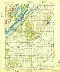
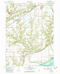
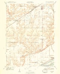
Other maps of this area
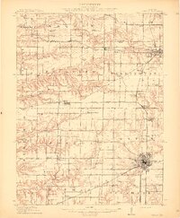
1912 · Canton
USGS Topo · 1:62,500
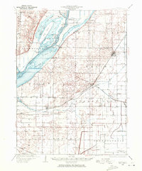
1925 · Havana
USGS Topo · 1:62,500
1929 · Manito
USGS Topo · 1:62,500
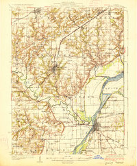
1930 · Glasford
USGS Topo · 1:62,500
1932 · Manito
USGS Topo · 1:62,500
1947 · St. David
USGS Topo · 1:24,000
1948 · St. David
USGS Topo · 1:24,000
1948 · Glasford
USGS Topo · 1:62,500
1949 · Havana
USGS Topo · 1:62,500

1958 · Burlington
USGS Topo · 1:250,000