Loading...
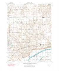
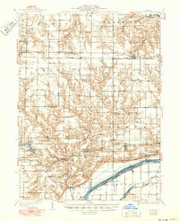
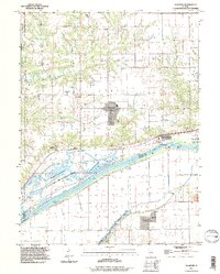
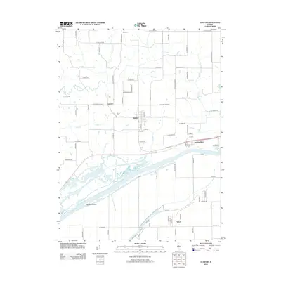
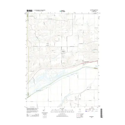
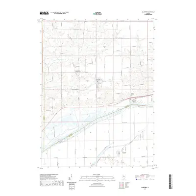
Loading map...1948 Map of Glasford
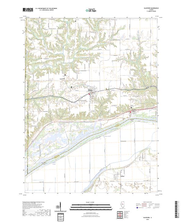
USGS Topo · Published 1965About this map
Kingston Mines and the Illinois River shoreline define the southeastern edge of this landscape, where the river's complex system of sloughs and lakes—including Kingston Lake and Ferry Lake Slough—meets the industrial activity of the mid-20th century. The Toledo Peoria and Western railroad cuts across the terrain, linking coal operations like the Baxter Mine and Newson Mine with established settlements such as Farmington, Trivoli, and Glasford.
Find a feature on this map
112 named features on this map. Tap any name to fly to it.
Don’t see what you’re looking for? This feature index may not catch every label — zoom into the map to look around manually.
Map Details
Date Portrayed1948
Date Published1965
PublisherU.S. Geological Survey
Map TypeTopographic
Scale1:62,500
Physical Dimensions18 x 21.8 inches
Editions of this 1948 Glasford Map
This is the sole edition of this map. No revisions or reprints were ever made.
Historical Maps of Canton Through Time
9 maps found


Featured Locations
Source Details
SourceU.S. Geological Survey
CopyrightPublic Domain