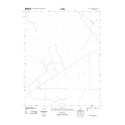
2011 Map of Bannion Spring
USGS Topo · Published 2011About this map
Bannion Spring and several other vital water sources define this high desert landscape in Iron County, Utah. The terrain is marked by a network of drainage features such as Tillie Creek, which flows through the central portion of the quadrangle. Topographical landmarks like Wilson Canyon and Trail Draw in the northeast, along with Marys Hollow in the southwest, illustrate the natural water-carved erosion patterns characteristic of the region. The map reveals a high concentration of named springs, including Rosebud Spring, Serviceberry Spring, and the Upper Trough Spring and Lower Trough Spring system. These sites were historically critical for livestock and travelers in an arid environment. The presence of a sparse road network intersecting near these water points suggests the enduring importance of these natural features for land navigation and local ranching operations in the early 21st century.
Find a feature on this map
10 named features on this map. Tap any name to fly to it.
Don’t see what you’re looking for? This feature index may not catch every label — zoom into the map to look around manually.
Map Details
Editions of this 2011 Bannion Spring Map
This is the sole edition of this map. No revisions or reprints were ever made.
Other maps of this area

1885 · St. George
USGS Topo · 1:250,000

1891 · St. George
USGS Topo · 1:250,000

1953 · Richfield
USGS Topo · 1:250,000

1953 · Cedar City
USGS Topo · 1:250,000

1958 · Richfield
USGS Topo · 1:250,000

1958 · Cedar City
USGS Topo · 1:250,000

1962 · Cedar City
USGS Topo · 1:250,000

1971 · Steamboat Mtn SW
USGS Topo · 1:24,000

1971 · Bible Spring
USGS Topo · 1:24,000

1971 · Steamboat Mtn
USGS Topo · 1:24,000