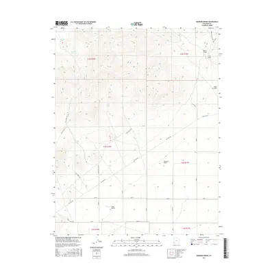
2017 Map of Bannion Spring
USGS Topo · Published 2017About this map
Bannion Spring and the surrounding high-desert landscape of western Iron County are defined by a network of critical water sources essential for survival in this arid environment. The map details a series of named outflows including Rosebud Spring, Serviceberry Spring, and the tiered Upper Trough Spring and Lower Trough Spring. Human efforts to manage these resources are evident in the Tillie Spring Pipe Line, which snakes across the terrain toward the southern extent of the Escalante Desert.
Find a feature on this map
26 named features on this map. Tap any name to fly to it.
Don’t see what you’re looking for? This feature index may not catch every label — zoom into the map to look around manually.
Map Details
Editions of this 2017 Bannion Spring Map
This is the sole edition of this map. No revisions or reprints were ever made.
Other maps of this area

1885 · St. George
USGS Topo · 1:250,000

1891 · St. George
USGS Topo · 1:250,000

1953 · Richfield
USGS Topo · 1:250,000

1953 · Cedar City
USGS Topo · 1:250,000

1958 · Richfield
USGS Topo · 1:250,000

1958 · Cedar City
USGS Topo · 1:250,000

1962 · Cedar City
USGS Topo · 1:250,000

1971 · Steamboat Mtn SW
USGS Topo · 1:24,000

1971 · Bible Spring
USGS Topo · 1:24,000

1971 · Steamboat Mtn
USGS Topo · 1:24,000