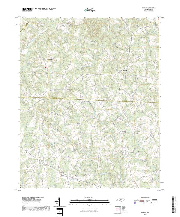
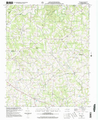
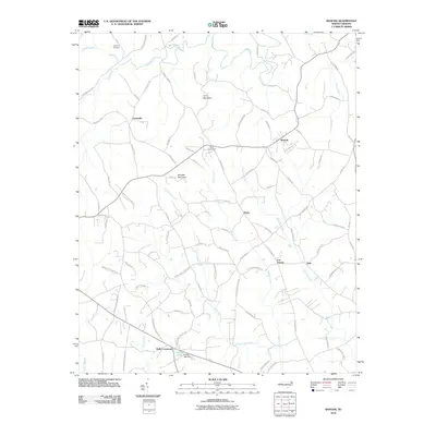
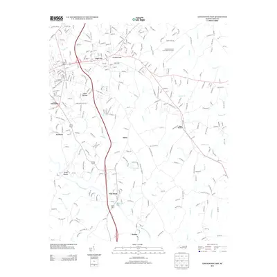
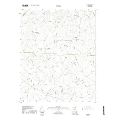
2022 Map of Banoak
USGS Topo · Published 2022About this map
Cat Square and Hulls Crossroads anchor this Piedmont landscape where the boundary between Catawba and Lincoln Counties cuts through a network of small rural settlements. The terrain is defined by the winding drainages of Jacob Fork and Indian Cr, which carve through the countryside near Lynn Mtn and Brendle Mtn. This area reflects a long-standing pattern of community life centered around local congregations, with numerous landmarks such as Reeps Grove Church, Macedonia Church, and Palm Tree Church serving as focal points for the surrounding farmsteads. To the south, Taylors Lake and the Northbrook III School indicate the continuing importance of centralized local infrastructure. The many family-named roads and watercourses like Howards Cr and Pott Cr provide a fine-grained look at the geographic heritage of this North Carolina region.
Find a feature on this map
152 named features on this map. Tap any name to fly to it.
Don’t see what you’re looking for? This feature index may not catch every label — zoom into the map to look around manually.
Map Details
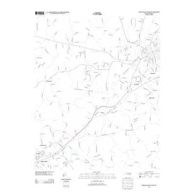
Editions of this 2022 Banoak Map
This is the sole edition of this map. No revisions or reprints were ever made.
Historical Maps of Belwood Through Time
22 maps found
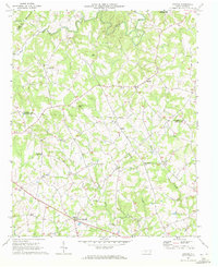
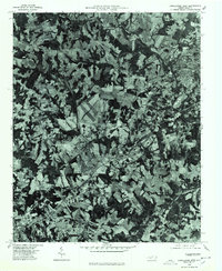
1970 Banoak
Lincoln County, NC
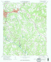
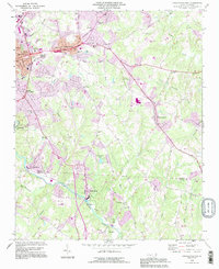
1970 Lincolnton East
Lincoln County, NC
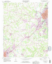
1973 Lincolnton West
Lincoln County, NC
1976 Lincolnton West
Lincoln County, NC
1993 Lincolnton East
Lincoln County, NC
1993 Lincolnton West
Lincoln County, NC
2002 Banoak
Lincoln County, NC
2010 Banoak
Lincoln County, NC
2010 Lincolnton East
Lincoln County, NC
2010 Lincolnton West
Lincoln County, NC
2013 Banoak
Lincoln County, NC
2013 Lincolnton East
Lincoln County, NC
2013 Lincolnton West
Lincoln County, NC
2016 Banoak
Lincoln County, NC
2016 Lincolnton East
Lincoln County, NC
2016 Lincolnton West
Lincoln County, NC
2019 Banoak
Lincoln County, NC
2019 Lincolnton East
Lincoln County, NC
2019 Lincolnton West
Lincoln County, NC
2022 Banoak
Lincoln County, NC
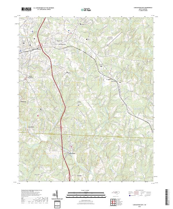
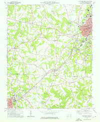
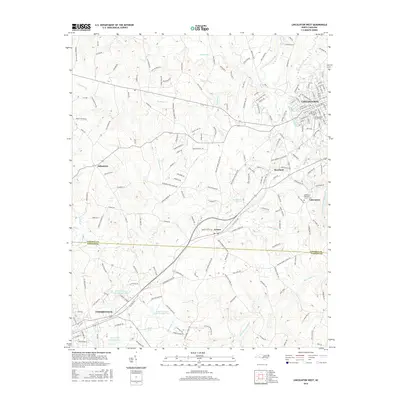
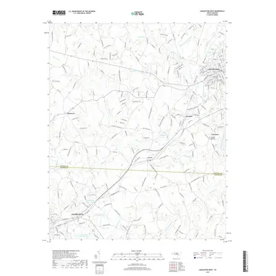
2022 Lincolnton East
Lincoln County, NC
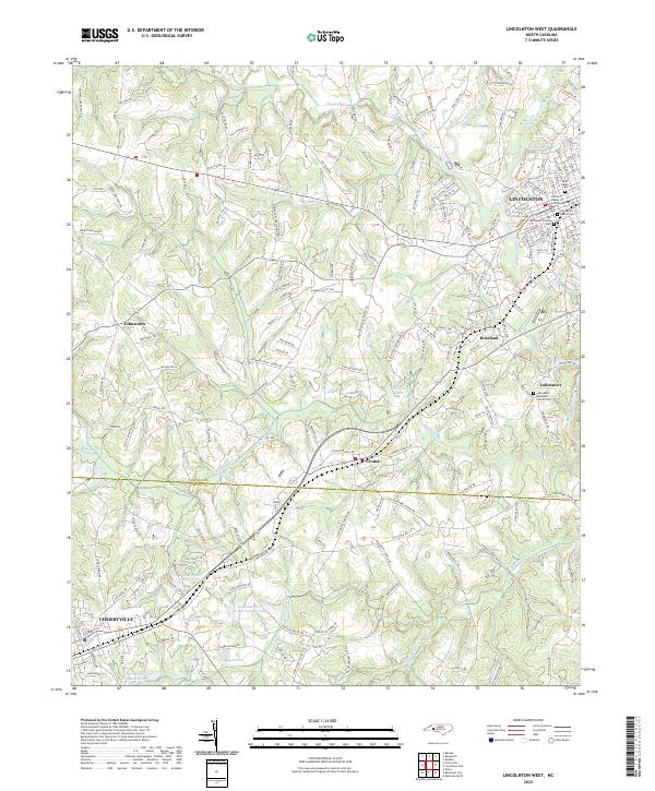
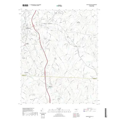
2022 Lincolnton West
Lincoln County, NC