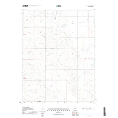
2019 Map of Bar J H Ranch
USGS Topo · Published 2019About this map
Bar J H Ranch serves as a primary namesake and local landmark in this pocket of Pueblo County, where the high plains landscape is defined by a dense network of intermittent drainage systems. The hydrologic character of the region is dominated by Chico Cr and its various tributaries, including Dry Cr, Burnt Cr, and Andy Cr. Evidence of water management for agricultural or ranching purposes is seen at the Tolle and Ditch Reservoir Number 1, which sits along the upper reaches of the Chico drainage. Transportation through this rural terrain is limited to established routes such as Pexton Hwy and Apelt Ranch Rd, while the southwestern corner of the sheet transitions into the topographic depression of Tom Hollow.
Find a feature on this map
18 named features on this map. Tap any name to fly to it.
Don’t see what you’re looking for? This feature index may not catch every label — zoom into the map to look around manually.
Map Details
Editions of this 2019 Bar J H Ranch Map
This is the sole edition of this map. No revisions or reprints were ever made.
Other maps of this area

1891 · Pueblo
USGS Topo · 1:125,000

1891 · Nepesta
USGS Topo · 1:125,000

1893 · Nepesta
USGS Topo · 1:125,000

1893 · Big Springs
USGS Topo · 1:125,000

1893 · Colorado Springs
USGS Topo · 1:125,000

1894 · Pueblo
USGS Topo · 1:125,000

1896 · Pueblo
USGS Topo · 1:125,000

1897 · Pueblo
USGS Topo · 1:125,000

1904 · Nepesta
USGS Topo · 1:125,000

1909 · Colorado Springs
USGS Topo · 1:125,000